
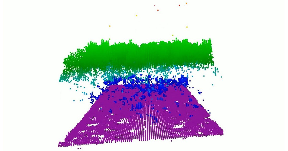
NASA’s CASALS Instrument Bridges Gaps in 3D Maps of Earth’s Surface
NASA has developed a new instrument called CASALS that improves 3D maps of Earth's surface by filling in gaps. The tool helps create more detailed and accurate representations of the planet. This advancement supports better understanding of Earth's geography and environmental changes.
NASA's CASALS instrument improves 3D mapping of Earth by filling in missing data, creating more accurate and detailed surface models.
Better 3D maps help scientists study environmental changes, manage natural resources, and plan for future challenges like climate change and urban development.
This development shows how technology can enhance our understanding of the world, offering practical benefits for science and society.
upbeatBytes summarizes in its own words and links to the original publisher — it doesn't host the article.