
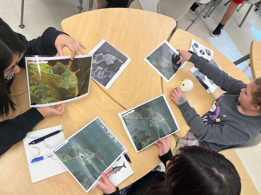
Students Connect NASA Science With Indigenous Knowledge to Study Coastal Erosion
Students combined NASA satellite data with traditional Indigenous knowledge to analyze coastal erosion patterns along the Pacific Northwest. The collaboration aimed to improve understanding of environmental changes and support sustainable land management practices. The project highlighted the value of integrating scientific and cultural perspectives in addressing climate challenges. This approach encouraged community involvement and enriched the accuracy of environmental research.
Students combined NASA science tools with Indigenous knowledge to study how coasts are changing.
This approach helps create more accurate and culturally informed solutions for protecting coastal communities.
It shows how science and tradition can work together to address real-world challenges in a respectful and effective way.
upbeatBytes summarizes in its own words and links to the original publisher — it doesn't host the article.